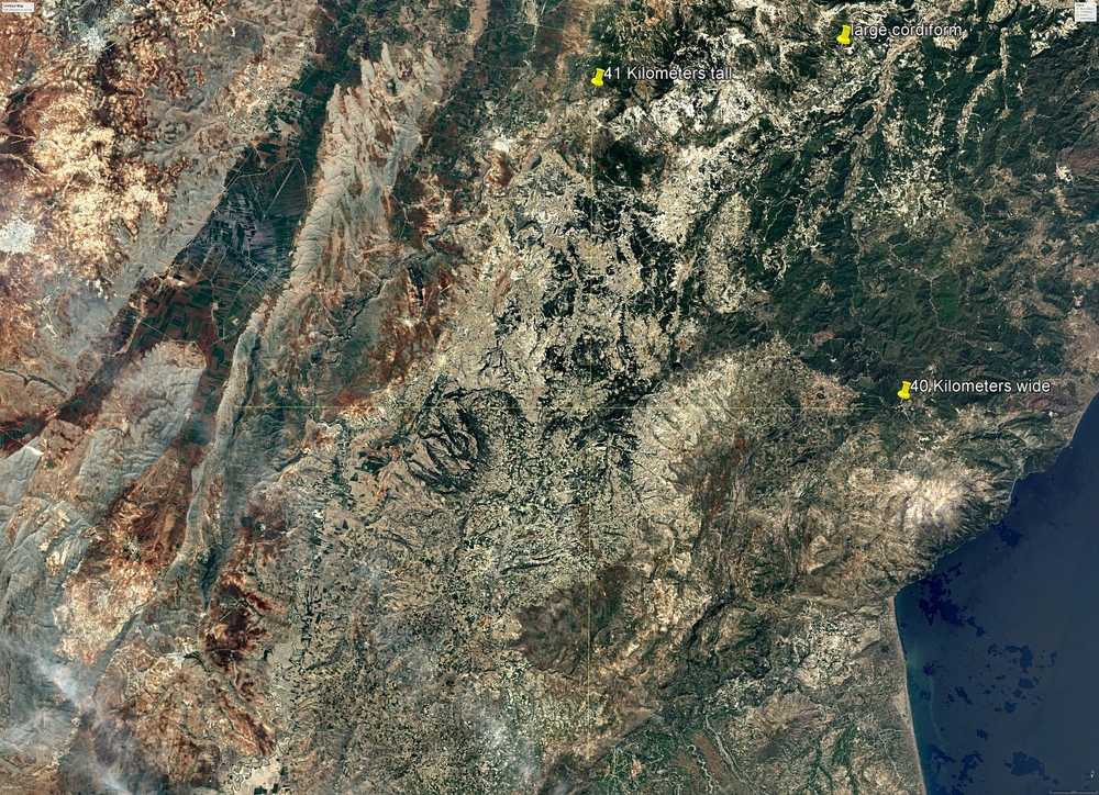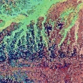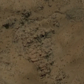
This satellite image shows the largest geoglyph ever discovered. The geoglyph depicts a horse, possibly a rider, and possibly more horses. In order to see this on Google Earth Pro use these coordinates.
Go to:
longitude 35.946967
latitude 35.247248
click on the view menu on top bar then check the view history option and a timeline box will show up on your screen.
Search through the history and find,
satellite image date 12/30/1987 That will bring up the satellite image I used in Google Earth Pro.
Then increase your eye altitude to 59.63 Km using the altitude slider on the right side of your screen.
Next on the uppermost right side of your image use the image rotater to rotate the image counter clockwize 170 degrees from North
You can use the faint crosshair I added to this image for reference.
- author
- Posted on
- Thursday 13 October 2022
- Dimensions
- 4795*3476
- Filesize
- 8234 KB
- Tags
- amazing, large, satellite photo, Turkey


